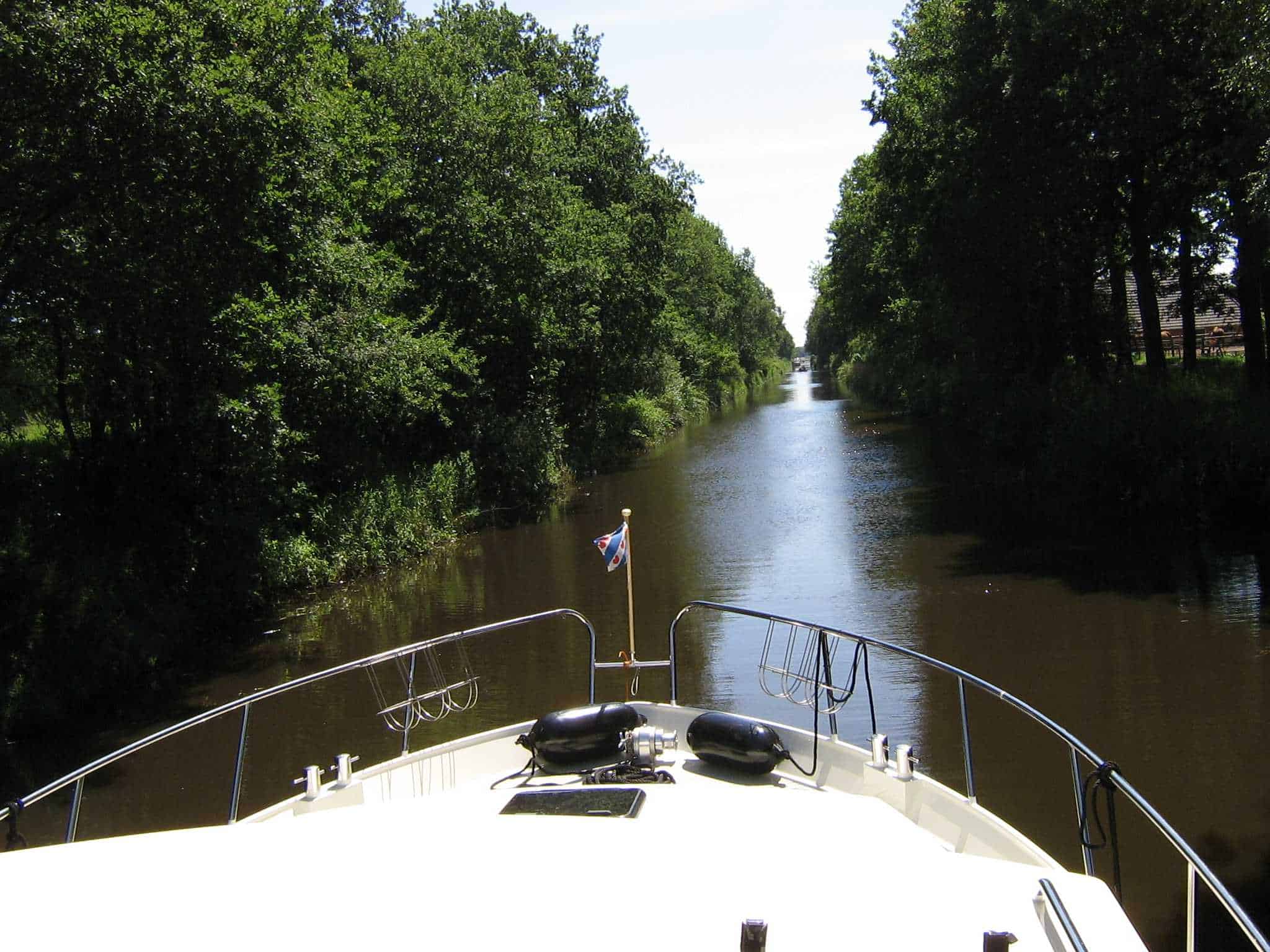
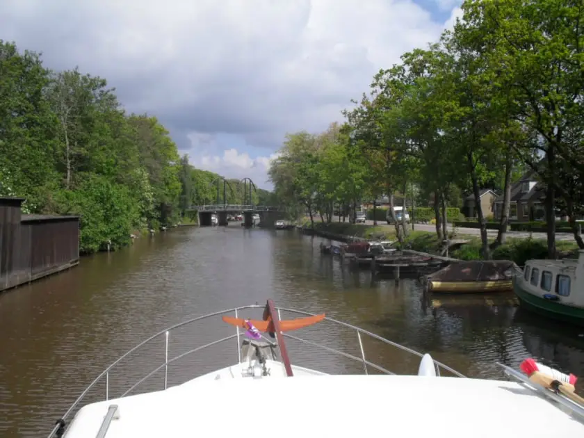
One of the things that makes the Veenvaart special is that this new waterway cuts right through the Hondsrug. The Hondsrug is unique because it was formed during the second-to-last ice age. A thick layer of ice drifting down from Scandinavia carried enormous boulders with it.
Suitable for motor yachts with a clearance height of up to 3.50 m
You can reach this new route via the city of Groningen or via Meppel in the province of Drenthe. This route can therefore be combined with the Groningen Route, the Turf Route, and the Overijssel Route. Ideal for a 2-week boat rental.
One of the things that makes the Veenroute special is that this new waterway runs right through the Hondsrug. The Hondsrug is unique because it was formed during the second-to-last ice age. As the nearly one-kilometer-thick ice sheet slid from Scandinavia across the northern Netherlands 370,000 years ago, it carried enormous boulders with it. From Groningen to Coevorden, a “scar” from this force of nature is still visible in the landscape: the Hondsrug.
With peat extraction in mind, an attempt had already been made in the second half of the 19th century to construct a waterway through the Hondsrug, but it was unsuccessful. The canal company encountered thick layers of boulder clay—a mixture of gravel, boulders, sand, and clay—which made construction difficult. Furthermore, the canal would have been elevated to such a height that the intended peatland could not be drained.
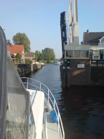
However, thanks to new techniques and machinery, it proved possible in 2012 to construct a waterway straight through the Hondsrug. The difference in elevation was overcome with a so-called ‘coupling lock’ in the Oosterbos: two locks directly behind one another. The coupling lock raises boats five meters to over 19.5 meters above sea level (NAP). To make navigation at this height possible, water was pumped ‘upwards’, between the coupling lock and the saving lock built further along at Oranjedorp. If both locks were opened simultaneously, the intermediate section of the Veenvaart would dry up completely! However, the saving lock features a special technique to cleverly retain and conserve a portion of the water during the locking process. What further distinguishes this lock is that it is the first in the Netherlands with synthetic lock gates.
The excavation of the new canal yielded no less than 35,000 cubic meters of soil and boulder clay. These materials were used to construct protective embankments further along, surrounding valuable remnants of raised bogs in the Oosterbos. This makes it possible to rewet the raised bog, allowing it—albeit very slowly—to regrow and regain its original character.
The erratics that surfaced during the excavation of the canal were given a place along the Ice Age Trail. This walking and cycling path starts in the harbor of Oranjedorp and ends in the Berkenrode raised bog area. The path leads past remarkable erratics, with explanations about when and how they arrived in Drenthe and the journey they made. There is a garden with rapakivi (reddish granite stones), a viewing mound, picnic areas, and a climbing course for children. Those who wish to learn even more about the ice ages and prehistory can visit the Ice Ages and Prehistory expedition of the Hondsrug Geopark, which is housed in the Hunebedcentrum in Borger.
Farmers settled on the flanks of the Hondsrug as early as 6,000 years ago: the Funnel Beaker people (named after the shape of their pottery), better known as ‘the megalith builders’. They used the enormous boulders they encountered, sometimes weighing as much as 20 tons, to construct burial chambers, in which they interred their deceased. Many of the mysteries surrounding the dolmens have since been unraveled and are revealed at the Hunebed Centre in Borger. Also interesting to know: the settlements of the dolmen builders and the routes between them can still be partially traced; thousands of years later, the villages on the Hondsrug lie in the vicinity of these ancient routes.
| Van | Naar | Afstand | Tijd |
|---|---|---|---|
| Groningen | Hoogezand | 13.7 km | 90 min |
| Hoogezand | Veendam | 18.5 km | 120 min |
| Veendam | City Canal | 15.9 km | 110 min |
| City Canal | Ter Apel | 16.8 km | 120 min |
| Ter Apel | Klazinaveen | 20 km | 145 min |
| Klazinaveen | Coevorden | 20.3 km | 135 min |
| Coevorden | Hoogeveen | 42.7 km | 285 min |
| Hoogeveen | Meppel | 27.2 km | 180 min |
| Meppel | Havelte | 10.2 km | 70 min |
| Havelte | Diever | 11.6 km | 80 min |
| Diever | Smilde | 13.4 km | 90 min |
| Smilde | Axles | 8.6 km | 60 min |
| Axles | Hair | 22.9 km | 155 min |
| Hair | Groningen | 8.3 km | 55 min |
Downloads: Map of the Veenroute in Google Maps